This Module of the National NRM Impacts and Adaptation project suggests new approaches to biodiversity conservation as well as potential actions to achieve them. It also introduces four new measures to assist with spatial planning of new actions. The Module consists of three components:
- the Helping Biodiversity Adapt Guide
- this website, featuring key messages from the Guide
- spatial datasets of the measures introduced in the Guide, and map-posters of the data for each region for quick reference and for users without GIS capacity, all available through the CSIRO Data Access Portal,
New principles and approaches introduces the concept that the principles that underlie biodiversity conservation may need to change under climate change.
The Biodiversity Adaptation Toolbox links some climate-ready principles with strategic goals and actions.
Measures for helping biodiversity adapt introduces four new measures for planning potential actions to help biodiversity adapt to climate change. To use the measures, access the datasets and/or map-posters relevant to your region, and use the Guide as a reference to explain their interpretation and potential use in planning. The Guide includes examples of interpretation at national and regional scales. These will appear as the ‘Example national context’ and ‘Example regional focus’ drop-downs.

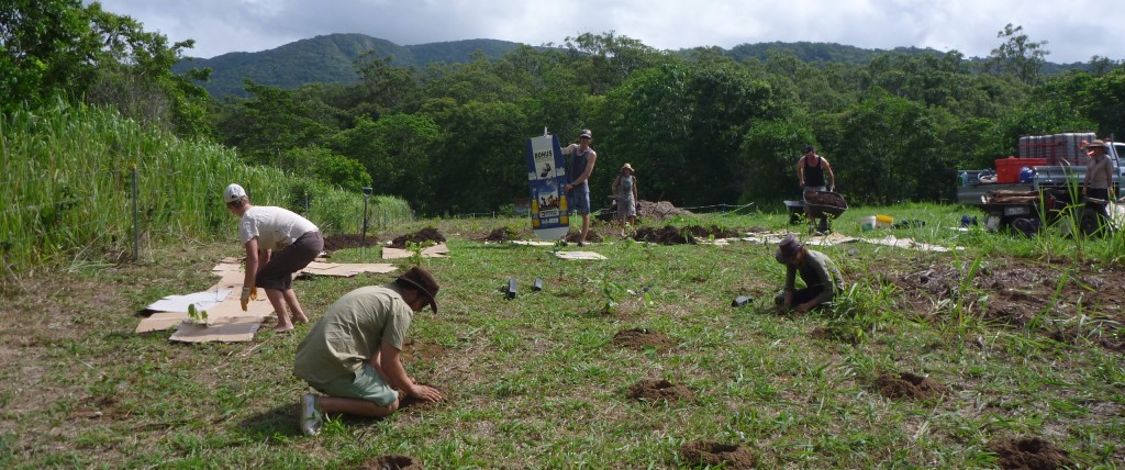
South Cape York Catchments volunteers reconnecting riparian corridors with trees grown from local seed; Source: Jason Caroll; Credit: South Cape York Catchments
Models for most of the measures were produced to 2050 for four biological groups (vascular plants, mammals, reptiles and amphibians) and for two future climate scenarios based on the current emissions trajectory (RCP 8.5). The web pages and the Guide itself provide examples only – the full set of models can be downloaded as maps and/or datasets from the CSIRO Data Access Portal.
The Planning examples section suggests different ways the information is or could be used in planning processes.
The Helping biodiversity adapt campus provides details on accessing the maps and data sets via the Data Access Portal, definitions of key terms, and a list of references for further reading.
How to cite the Helping Biodiversity Adapt web pages:
Prober SM, Williams KJ, Harwood TD, Doerr VAJ, Jeanneret T, Manion G, Ferrier S (2015) Helping Biodiversity Adapt: Supporting climate-adaptation planning using a community-level modelling approach. CSIRO Land and Water Flagship, Canberra. Available at: www.AdaptNRM.org ISBN 978-1-4863-0560-5
Acknowledgement:
For their roles in producing, coordinating, and making available the CMIP5 model output, we acknowledge the MIROC5 and CAN-ESM2 climate modelling groups, the World Climate Research Programme’s (WCRP) Working Group on Coupled Modelling (WGCM), and the Global Organization for Earth System Science Portals (GO-ESSP).
